Cranbrook Sylvan Lake Virtual TNT TNT
May 27th 2021 4:00pm - August 31st 2021 9:00pm
Organizer: Wakana Heilman (Organizer)
VIRTUAL ORIENTEERING - it's a new type of event using the "MapRun6" app on your phone.
Our fifth orienteering event of the 2021 season is in Cranbrook and is open to all registered members of the Kootenay Orienteering Club.
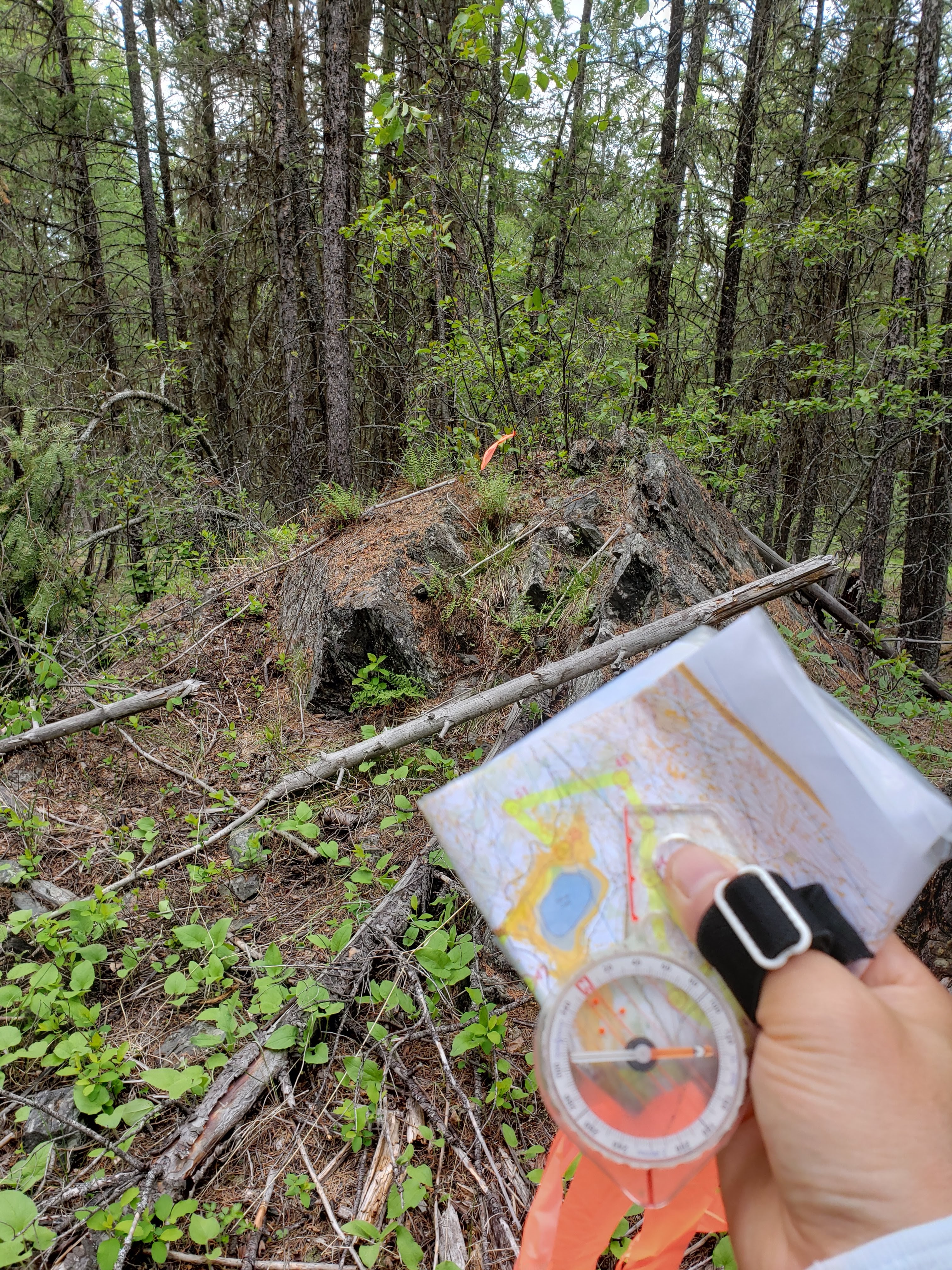
This event is a self-directed activity designed to comply with current COVID19 restrictions and Orienteering Canada guidelines. You run/walk the course, obeying all current social distancing recommendations, with a map that you print out yourself from the pdf link below. There are no physical markers or SI units at the control locations. Instead control locations are registered on a phone app called MapRun6 (https://maprunners.weebly.com/) which records your track using GPS and provides a “beep” when each control is reached and uploads your results when you are finished. In this way you can do your course in your own time, physically distanced from others, but still compare your uploaded results with everyone else’s. You can also do your course without the phone app and then send your time to the event organizer.
If you are not a 2021 member of the club yet, all our membership activity is now done online so please click on this link to access KOC 2021 Online Membership Form & Payment.
TWO COURSES
- 4.9km
- People could utilize the network of trails but the forest is super runnable.
- All control locations have orange flagging tape except at control #1,2,4,15.
- 3.9km
- Very easy navigation that the controls are located close to trails or at trail junctions.
- Control #2,3,4,5 have orange flagging tape
The course will be available from May 27th and ending on June 30th. Please note that on orienteering maps areas coloured olive green or with purple crosshatching are out of bounds! Learn more about orienteering map symbols at map-symbols and the symbols on the course descriptions at control-descriptions
Mount Baker Rd. Lower Parking Lot (see map below) - and look for the triangle symbol on the map.
HERE ARE THE DETAILED INSTRUCTIONS
- Register as a KOC member (our insurance policy requires all participants be members) at KOC 2021 Membership . This only has to be done once per year so if you're already a 2021 member you are already on your way to some great orienteering.
- Download the course map from the pdf link above and print a colour copy.
- Install the MapRun6 app on your Android or Apple phone, download it from the Apple or Google Play store.
- Use the app to:
- Register your name.
- Select Event: Canada-> British Columbia -> Cranbrook -> SylvanLake MiddleBLine or SylvanLake MiddleTrailRun
- Download the course to your phone (you can use this downloaded map to navigate but a paper map is bigger and better)
- Once you are at the start location - see LOCATION below - with your printed map and your phone fully charged, open the app
- As an extra safety feature you can track your position on your phone - select Options and Settings and turn on “Display Present Location” and “Display Track”. Then exit back to the home screen.
- Next select “Proceed to Start” then physically move towards the course starting point which is shown on the map as a triangle. Listen for the beep and then off you go.
- Visit each control in numerical order, taking whichever route you prefer. You should hear a beep as you reach each control. Sometimes the app will capture another control and beep as you pass by – just ignore those. If you’re sure you’re at a control but your phone does not beep, continue on and your GPS track can be checked later.
- The finish is shown on the map as two concentric circles and is back near the start triangle. Only when you hear the finish beep will the timer stop and your track and time be automatically uploaded to the leader board.
- Select “Show Results” to see your own track. Select “All Results” to see the leader board. (B-Line Results Leaderboard & Trail+Run Results Leaderboard)
- If your result shows “MP”, (Missed Punch) this means your phone did not register one or more of the controls. If your track shows you did reach the control then please contact the event director who will update your results.